|
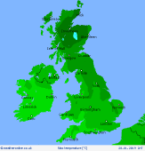
 Monday Monday
A northwesterly wind maintains a chilly pattern with a widespread risk of frost and ice in the morning. Brisk winds near North Sea coasts of England first thing could churn up large waves which may result in coastal flooding and damage to seafronts. There will be areas of wintry showers around coasts in the east and west, mostly rain at low levels near coasts. Dry and bright for central and southern areas. Some more organised rain moves into northwest Scotland and Northern Ireland through the afternoon and western parts of England and Wales later. This will fall as snow over higher ground. Highs at 3 to 6C, mildest in the far south-west.
 Monday night Monday night
A northwesterly airflow persists overnight bringing cloud and light showers to coastal areas. These will fall as sleet or snow in the north, rain in the south. Clear skies for central and southern areas at first although cloud will build as the night progresses. A widespread risk of icy patches and frost. Overnight lows falling to -4 to 1C.
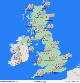 Tuesday Tuesday
A northwesterly airflow is likely to affect the UK and Ireland on Tuesday bringing cold temperatures to northern and western areas. Icy patches are likely in the north and west while a widespread frost will affect most areas in the morning. Showers, with a mix of rain, snow and sleet for western coastal areas in the northern half of the country. A low pressure system may develop in the southwest which could bring a potentially disruptive band of heavy rain and snow for central and southern England and Wales through the second half of the day. High temperatures at 1 to 5C.
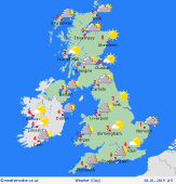 Wednesday Wednesday
A northwest to northerly airflow dominates the weather on Wednesday. It will be a very cold start to the day with a widespread hard frost and ice patches. It will be a largely dry and bright day though northern and western areas could see a few wintry showers. More persistent, but light, precipitation is possible for the island of Ireland, Wales and southwest England. Highs at 0 to 4C, locally higher in the far south and southwest.
|
