|
 Wednesday Wednesday
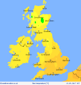
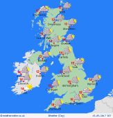
Storm Aileen clears quickly eastwards in the morning. Gales for northern & eastern England will ease, but westerly winds remain brisk through the day. A bright day for many, with good amounts of sunshine. Showery rain in the west & north, at times merging to constant rain over the hills. A few showers extending to central areas, but moving through quickly on the breeze. Feeling cool, 12 to 15C north & west, up to 17C south-east.
 Wednesday night Wednesday night
Showery rain continues into the evening and night, focused around coasts in the north, west & south-west, but rain spreading well inland on the breeze. Some heavy and possibly thundery bursts in the south-west, may give heavy rain for several hours locally. Central & eastern Britain generally drier with clear spells. Breezy, or windy where exposed, and squally in showers. Lows 7 to 11C, locally cooler sheltered valleys.
 Thursday Thursday
A showery day for all. Some heavy bursts with hail and thunder possible. A zone of persistent rain may affect East Anglia. Showers most widespread around coasts in the west & north in the morning, but spreading inland and breaking out widely through the day. Some central-southern counties may escape often dry. Bright sunny spells away from showers. Blustery west to north-westerly winds and squally gusts. Temperatures just 12 to 16C.
 Friday Friday
Low pressure to the east, and high pressure to the west. A cool northerly airflow. Showers draped around coasts in the west & north from before dawn. These will spread inland and break out increasingly widely through the day. Some heavy bursts with local hail and thunder possible. Sunny spells away from showers. Central & south-eastern England may escape often dry. Feeling cool, just 11 to 14C north, up to 16C south.
|
